
Accurate Land Data. Safe & Precise Designs. Solid Foundations.
Precise site surveys, land measurements, and topographical mapping in Nepal by Bricks Engineering to give your building project an accurate foundation.
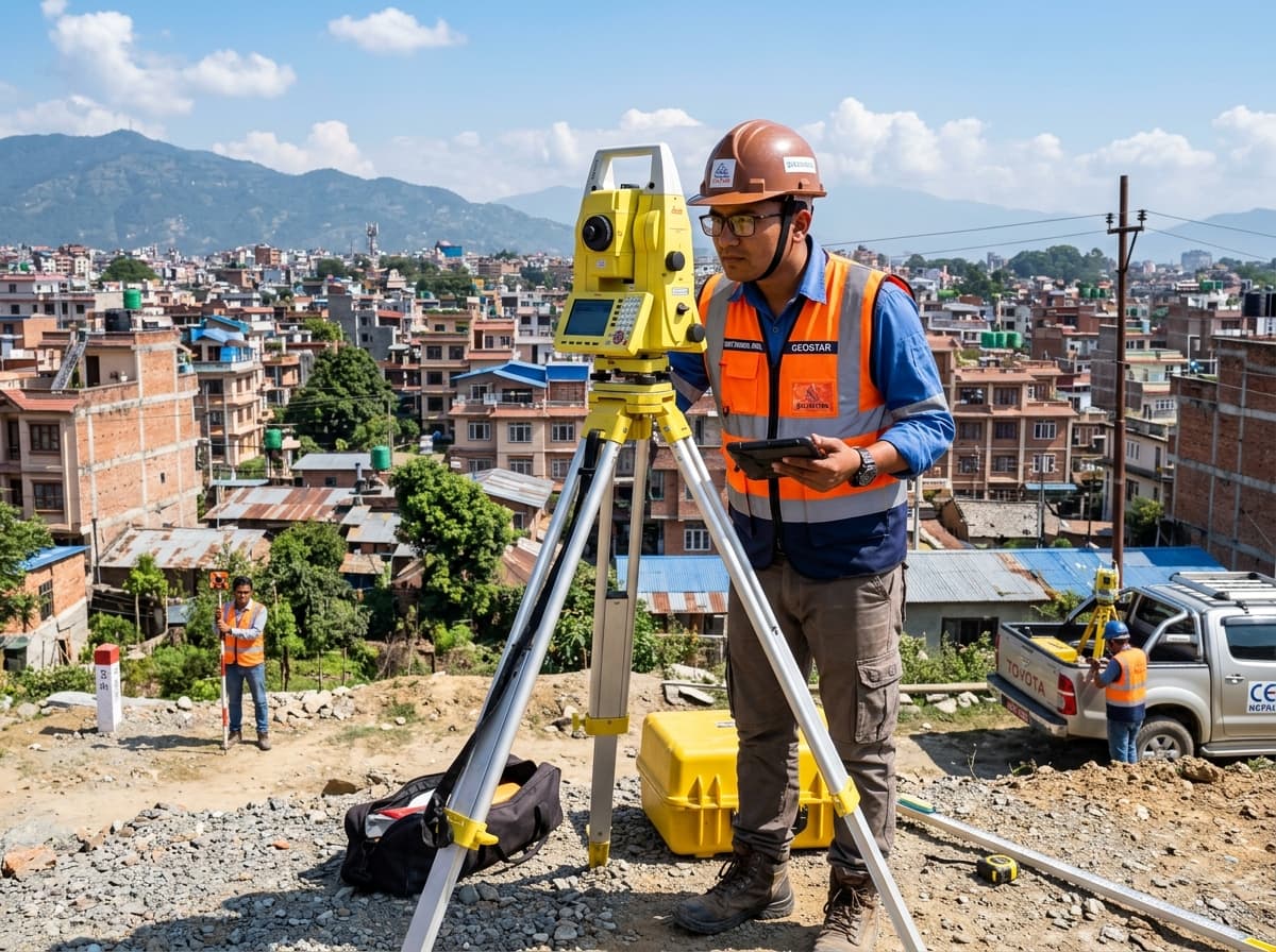
Precise Boundary & Elevation Mapping
Collecting physical and topographical data before engineering & architectural design.
Our Site Survey & Land Measurement Services
Every successful construction project begins with understanding the land. At Bricks Engineering & Construction, our site survey and land measurement services collect accurate physical and topographical data before design work starts.
Land Measurement & Boundary Mapping
Exact property lines & total areaPhysical boundary measurements to define exact property lines, dimensions, and total land area to prevent disputes and guide building layout design.
Topographical Survey
Elevations, contours & slopesMapping ground elevations, contours, slopes, and existing site structures to guide site preparation, drainage, and civil engineering design.
Pre-Design Site Verification
Real-world ground alignmentSupplying complete, accurate land data to architects and structural engineers to ensure building plans match real-world site conditions.
Site Feasibility Support
Early constraint identificationIdentifying physical constraints, access limitations, and site conditions early in the planning process to avoid unexpected construction delays.
Topographical Survey & Site Verification
Providing accurate land data for architects and structural engineers before ground excavation.
Build With Confidence on Verified Land Data
Every successful construction project begins with understanding the land. Knowing exact boundaries and site conditions helps avoid costly design errors, prevents boundary disputes, and ensures your building fits the site perfectly.
Identifying site challenges early stops expensive design changes during active construction, streamlines compliance with local municipal building rules (Naksa Pass), and highlights slope stability, drainage, and elevation factors before engineering work begins.
Why Professional Surveying Matters
Investing in professional site surveying before engineering work begins protects your project from costly design revisions, municipal delays, and structural risks.
Prevents Costly Rework
Identifying site challenges early stops expensive design changes during active construction.
Simplifies Approvals (Naksa Pass)
Accurate boundary and site data streamline compliance with local municipal building rules.
Ensures Structural Safety
Highlights slope stability, drainage, and elevation factors before engineering work begins.
Schedule Your Site Survey & Measurement Today
Every successful construction project begins with understanding the land. Get accurate physical and topographical data for your building project. Talk to our site survey team today.